Mapping & GIS
Visualise and analyse thousands of sampling points on an interactive map of Senegal. Precise geolocation, segmentation by region, commune and soil type.
Learn moreSuqali Mbay Mi (« innovating agriculture » in Wolof) provides digital tools for agricultural monitoring, GIS mapping and personalised farmer support across all 14 regions of Senegal.
Founded in Senegal, Suqali Mbay Mi (« innovating agriculture » in Wolof) is an AgriTech company whose mission is to digitise the monitoring of agricultural operations at national scale.
Our platform integrates a Geographic Information System (GIS), a mobile field data collection application and an analytical dashboard, empowering agricultural stakeholders to make informed, data-driven decisions.
Geospatial visualisation of thousands of sampling points across Senegal.
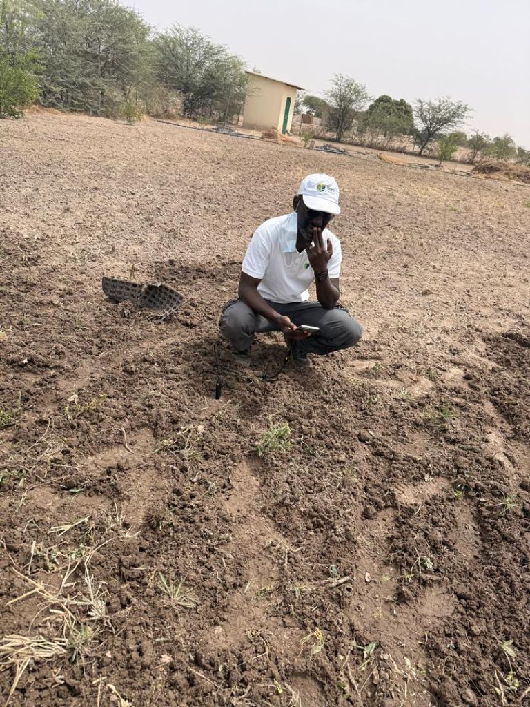
Real-time data collection, even offline, directly on the farmland.
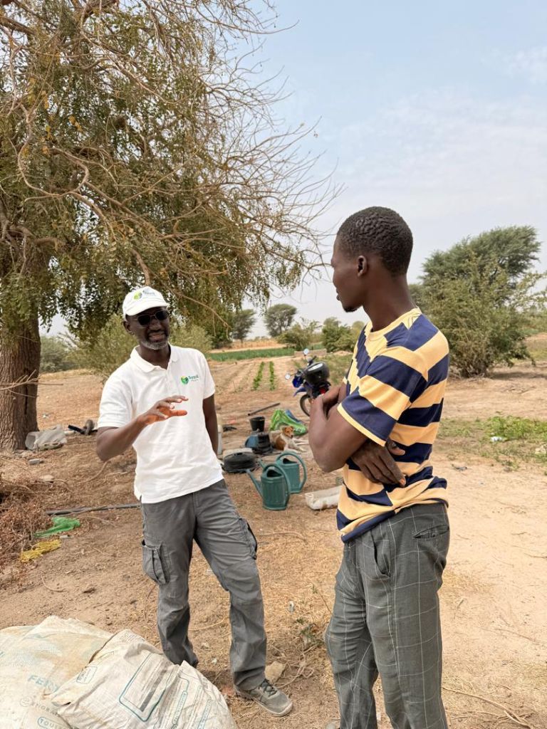
Our field teams visit farmers directly for personalised, hands-on monitoring.
Trained and equipped agents deployed directly to farmers across all 14 regions
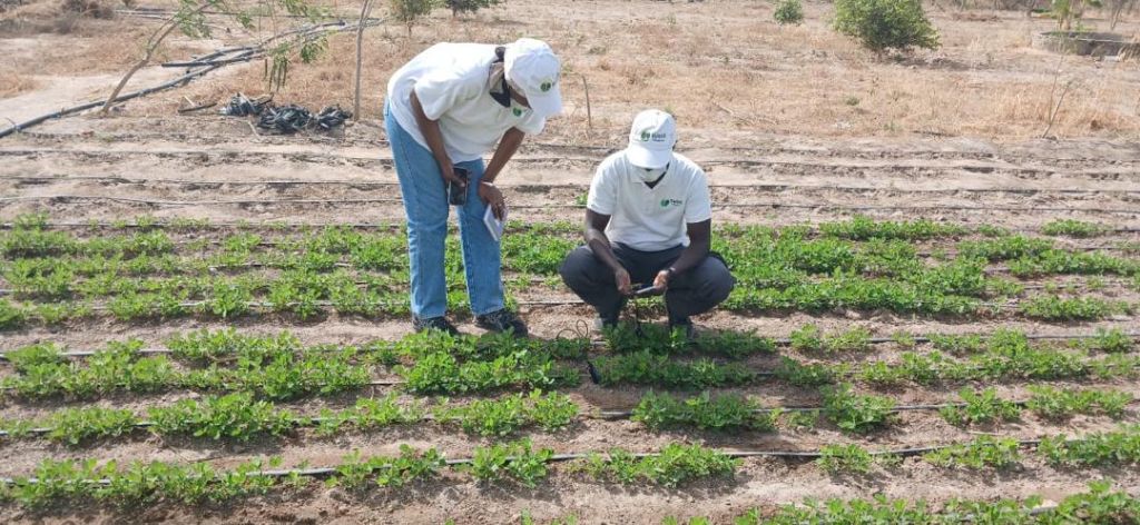
Digital crop monitoring in an irrigated zone
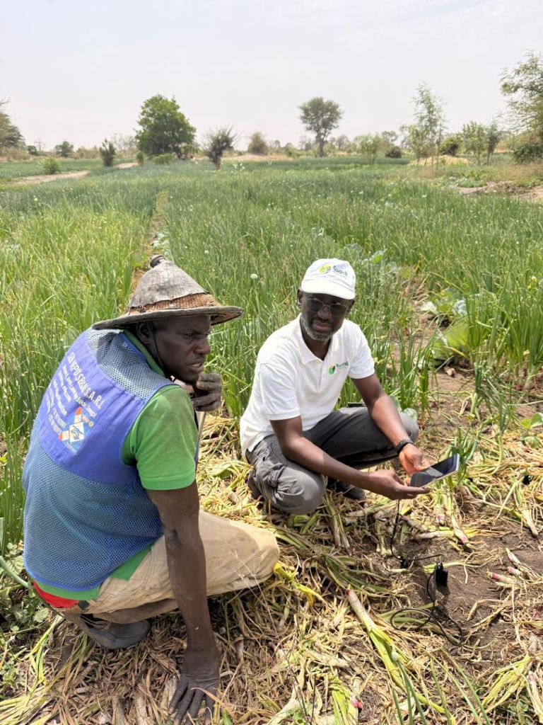
Consulting with a local farmer
Data collection with mobile application
Reviewing data on a tablet in the field
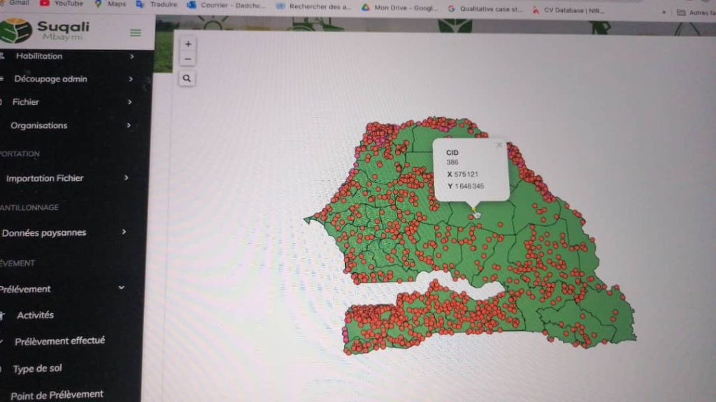
Visualisation of 5,000+ points across 14 regions
Digital tools designed for the realities of the Senegalese agricultural field
Visualise and analyse thousands of sampling points on an interactive map of Senegal. Precise geolocation, segmentation by region, commune and soil type.
Learn moreOur mobile app lets agents collect data and photos directly on plots. Automatic sync, offline mode, intuitive interface.
Learn moreSoil analysis, sampling follow-up, crop history and personalised agronomic recommendations for each farm.
Learn moreOur teams visit farmers directly to guide them in using digital tools and improving their agricultural practices.
Learn moreCustomised dashboard to visualise agricultural performance, trends and generate reports for partner organisations and institutions.
Learn moreTraining on digital agricultural tools, digitalisation consulting and capacity building for farmer organisations.
Learn moreOur mobile app was designed for real Senegalese field conditions. Easy to use, robust and available even without internet connectivity.
Automatic GPS positioning with exact coordinates for every sampling point
Data collection without internet connection, automatic sync on reconnection
Capture field photos directly linked to sampling data
Automatic generation of agronomic monitoring reports viewable on the dashboard
Feedback from farmers and agricultural organisations
Since using Suqali Mbay Mi's app, I can see exactly the state of my plots and receive personalised advice. My yields have increased by 30% in one season!
Suqali Mbay Mi's GIS system has given us a global view of all the farms we monitor. An indispensable tool for our agricultural development organisation.
The Suqali Mbay Mi team is highly professional and always available. They trained our agents in record time and support is always responsive. I strongly recommend their services.
Thanks to real-time mapping, we can now efficiently allocate our field interventions. The collected data is remarkably accurate.
The platform is very intuitive, even for our agents with little tech experience. On-boarding was quick and results in the field are immediately visible.
Stay up to date with Senegalese AgriTech news and Suqali Mbay Mi advances
The digitisation of farms in Senegal opens new perspectives for producers. Discover how GIS tools are revolutionising plot tracking...
Read more
A look back at our annual field data collection campaign. Our teams traversed all 14 regions of Senegal to support hundreds of farmers...
Read more
We launched version 2.0 of our mapping platform with new features: advanced filtering, data export and a modernised interface...
Read moreJoin more than 1,200 farmers already using our solutions to improve their agricultural productivity.